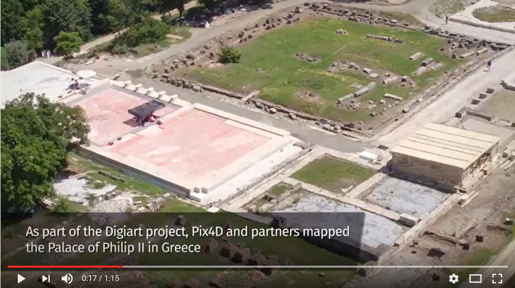
In May, 2016, Pix4D and DigiArt partners Vulcan UAV, John Moores University, and GeoSense evaluated the drone mapping process by modeling King Philip II’s palace in Vergina, Greece, using four different consumer drones and Pix4D mapping technology. For more information: https://pix4d.com/digiart/
You are browsing archives for
Category: Videos
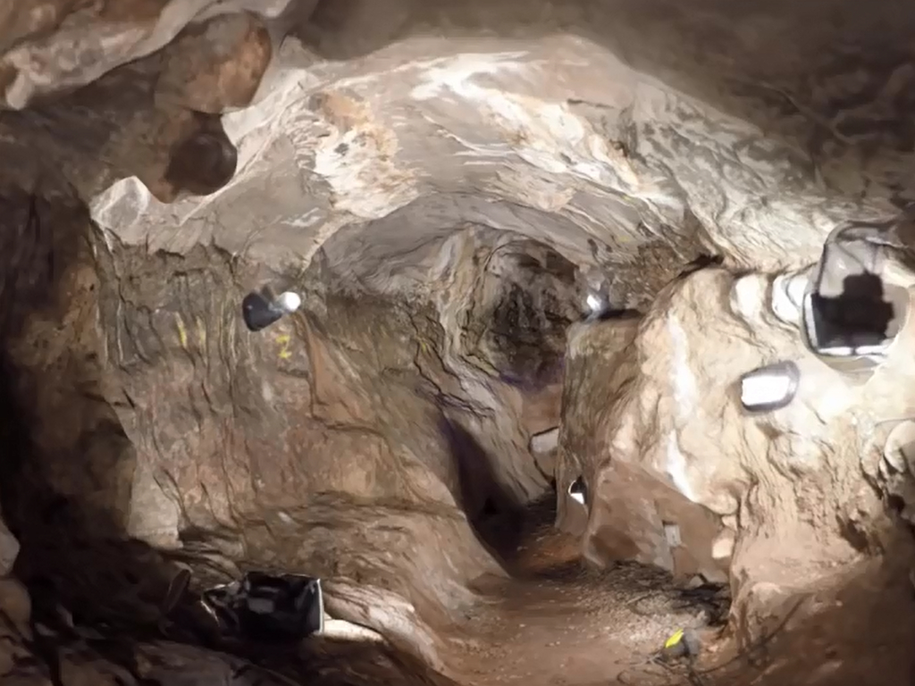
Simulated Fly-through of St. Paul Cave
Simulated fly-through of the St. Paul Cave at Scladina based on single UAV scan and a shape from motion algorithm.


